



Enterprise Risk Advisory

Geospatial Intelligence.Real-World Security.

Pollard Intelligence delivers GIS-powered threat assessments that turn complex geographic and security data into decisive, actionable intelligence for the organizations responsible for protecting people, property, and critical assets.

24/7
Threat Monitoring
50+
Assessments Delivered
100%
Confidential

GIS-Powered Intelligence

Advanced spatial analytics that expose blind spots across complex physical security environments.

Threat Assessments

Comprehensive identification of vulnerabilities across facilities, campuses, and infrastructure.

Actionable Deliverables

Intelligence products engineered for immediate implementation by security stakeholders.

Professional Analysis

Advisory led by intelligence professionals with real field and operational experience.

/ Threat Assessment Services

Intelligence Built for the Field

Our specialized methodology fuses geospatial science with tactical security principles to protect your most valuable assets — before threats materialize.

TA-01

Venue Threat Assessments

Security mapping for high-occupancy venues, stadiums, and public gathering spaces to mitigate mass-casualty risk.

TA-02

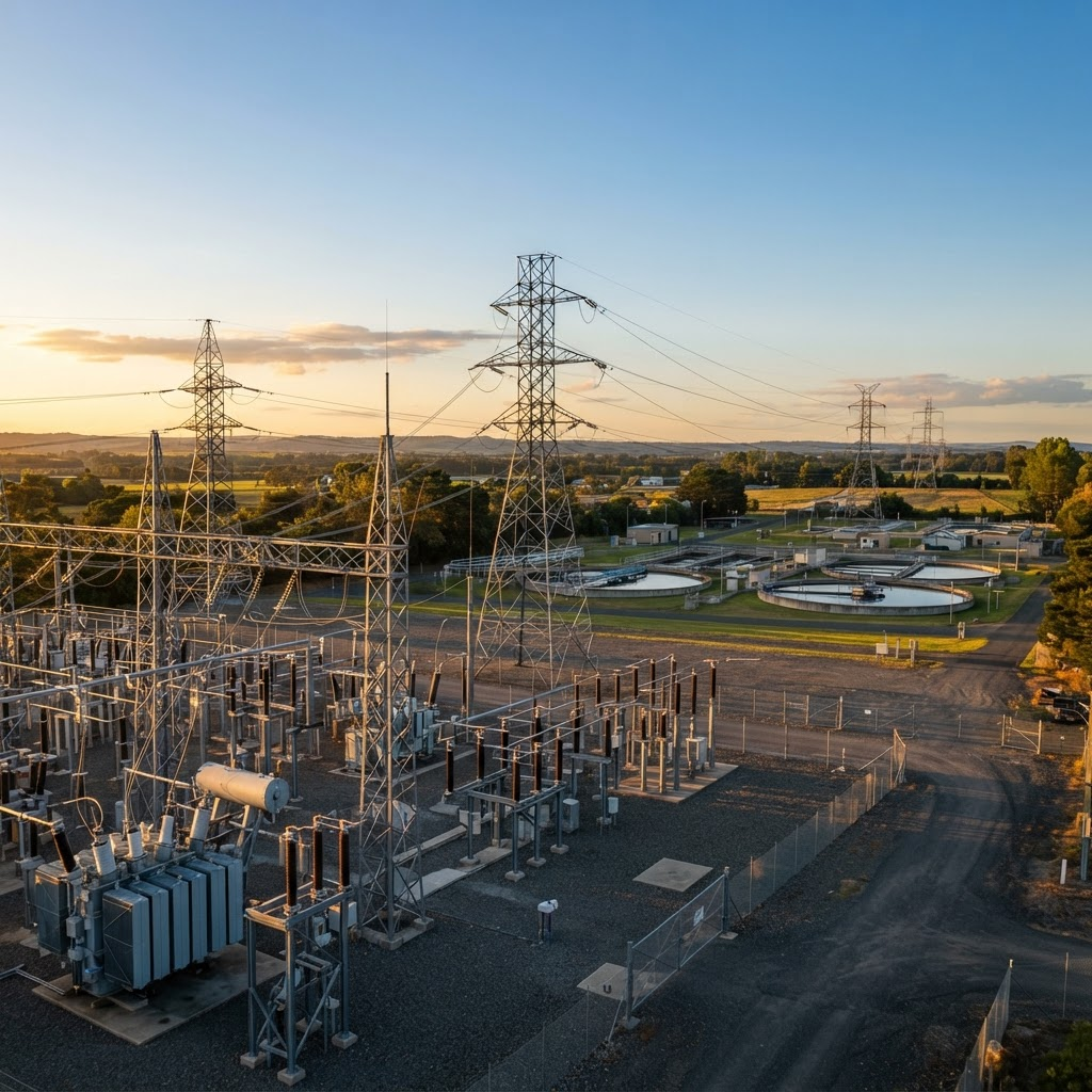
Critical Infrastructure

Protecting energy, water, and utility assets through geospatial vulnerability analysis and facility hardening strategies.

TA-03

Geospatial Risk Analysis

Combining crime data, environmental factors, and spatial relationships to predict and prevent security breaches.

TA-04

Emergency Response Planning

Mapping ingress, egress, and staging routes so response teams move decisively when every second counts.

TA-05

Government & Public Sector

Discreet advisory for municipal facilities, courthouses, and civic assets with elevated exposure profiles.

TA-06

Executive & Route Security

Corridor analysis and location profiling that keep principals and their movements protected end to end.

/ Intelligence

“Security decisions made without spatial context are guesses. Geography is the one variable a threat can never hide from — so we start there.”
Pollard Intelligence — Analytical Doctrine
12
Data LayersFused into every assessment
< 1
Business DayTo confidential first contact
360°
CoverageSightlines, access, and egress mapped
Intelligence analyst reviewing geospatial threat data across an operations center

/ Operations Center

Human expertise interpreting machine-scale spatial data — that intersection is where real intelligence lives.

/ Methodology

From Raw Geography to Decisions

  1. 01

    Collect

    We aggregate satellite imagery, crime data, environmental variables, and on-site reconnaissance into a unified spatial model.

  2. 02

    Analyze

    GIS layering exposes proximity risks, sightline gaps, and access vulnerabilities invisible to conventional audits.

  3. 03

    Assess

    Threats are scored and prioritized against likelihood and impact, mapped directly to your critical assets.

  4. 04

    Advise

    You receive a clear, prioritized deliverable — hardening measures ready for immediate implementation.

/ About Our Team

The People Behind the Intelligence

Pollard Intelligence was built on a simple conviction — that rigorous geospatial science, applied with discipline, produces security decisions you can trust. Our work is led by a founder trained in homeland security and intelligence, and is growing to meet the demand for defensible, map-based risk analysis.

Portrait of the Founder and CEO of Pollard Intelligence
Founder & CEO

Ryland James Pollard

Founder & Chief Executive Officer

I attend Embry-Riddle Aeronautical University, majoring in Homeland Security and Intelligence with a specialization in Global Conflict Studies. That foundation shapes how I read risk — as a spatial, geopolitical, and human problem rather than a checklist.

I bring profound, hands-on experience in geographic information systems and threat assessment, transforming complex geographic, environmental, and security data into clear, actionable intelligence. Every engagement is grounded in that analytical rigor, so clients receive findings they can defend and act on immediately.

Embry-Riddle Aeronautical University
Homeland Security & Intelligence major with a specialization in Global Conflict Studies.
GIS Expertise
Profound experience translating satellite, environmental, and crime data into decision-grade geospatial intelligence.
Threat Assessment
Extensive hands-on experience identifying vulnerabilities across facilities, venues, and critical assets.

/ Building the Team

Senior GIS Analyst

Spatial modeling & vulnerability mapping

Now Recruiting

Field Security Advisor

On-site reconnaissance & hardening

Now Recruiting

Join the mission

Analysts and advisors with GIS or security expertise — get in touch.

/ Request Assessment

Know Your Terrain Before It Matters

Start with a confidential consultation. Tell us what you protect, and we'll outline how a geospatial threat assessment strengthens your posture.

  • Strict Confidentiality
  • Vetted Analysts
  • Rapid Turnaround

Encrypted in transit. Your details are never shared.